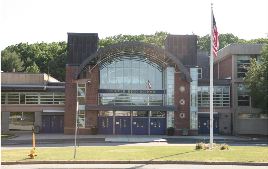
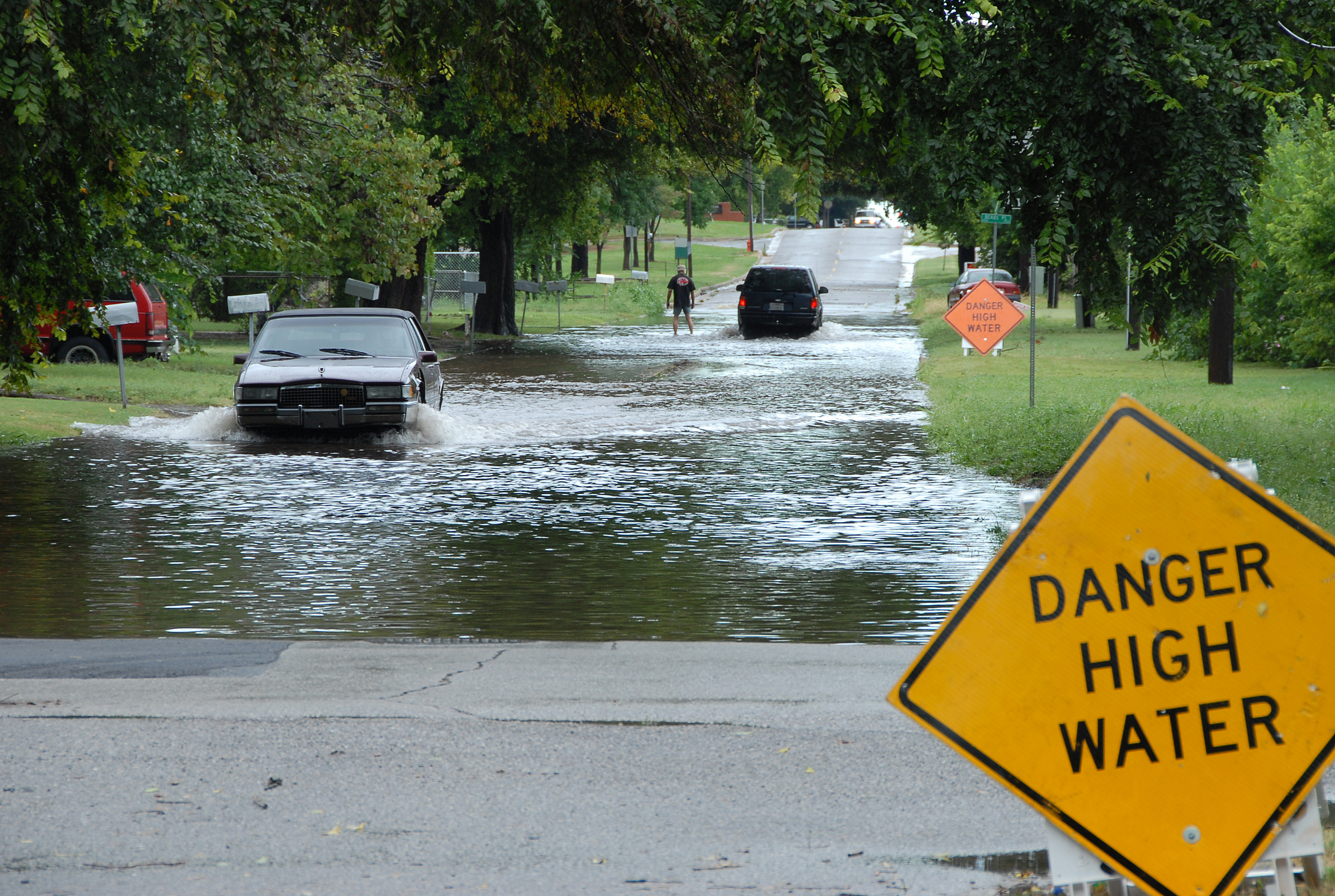
The National Weather Service issued a Flash Flood Watch covering the Andover and North Andover area Wednesday, July 29, warning that 2 to 4 inches of rain could fall across much of Massachusetts, with up to 7 inches possible in the Berkshires and Worcester Hills.
The NWS called the storm a significant and life-threatening flood event for urban and poor-drainage areas. More than 28 million people from New Jersey through southern New England are under flood watches as of Wednesday, July 29, CNN reported.
The Andover and North Andover corridor falls under NOAA's Level 2 of 4 risk for excessive rainfall, according to the Weather Prediction Center. The greatest danger, a Level 3 risk, is centered on western and southern Massachusetts.
The NWS Norton office said the heaviest period for western Massachusetts was Wednesday morning into early afternoon, with rainfall rates of 1 to 2 inches per hour possible. For the Andover area, rates of half an inch to 1 inch per hour are expected, with higher bursts possible from embedded thunderstorms. Showers and thunderstorms are expected to linger into Thursday, July 30, before tapering off Friday, July 31.
Why drought makes flooding worse
Both towns entered this storm on parched ground. Andover is under Level 3 drought restrictions banning nearly all outdoor water use, as we reported July 28. North Andover issued a voluntary water conservation notice in June after the state declared a Critical Drought Alert for the Northeast Region.
Nearly 29 percent of Massachusetts remains in the severe drought category, according to the U.S. Drought Monitor's most recent weekly update. That hard-baked soil doesn't absorb water the way healthy ground does. Prolonged downpours on drought-hardened earth increase runoff significantly, pushing water toward streets, streams, and storm drains faster than usual.
Local flood history
North Andover knows what heavy rain can do. In August 2023, two storms dumped six inches in six hours and three inches in two hours, flooding the Davis and Furber Mill Complex area along Cochichewick Brook and causing nearly $30 million in damages to homes and businesses, according to a town flood study.
In Andover, known trouble spots include Lowell Street near the IRS building and I-495 interchange, and North Main Street near Washington Park. Andover Police flagged those locations as impassable during the August 2023 flooding.
What residents should do
AccuWeather senior meteorologist Alex Sosnowski warned that "torrential rainfall can persist for several hours in some communities, leading to street flooding and rapid rises on small streams and drainage canals."
The NWS "Turn Around, Don't Drown" guidance is blunt: six inches of moving water can knock a person off their feet, and 12 inches can float a vehicle. More than half of all flash flood deaths happen in cars.
The Town of Andover's Department of Public Works has previously urged residents to clear catch basins near their property before heavy rain, noting that blocked drains worsen flooding during intense storms. The town posted that guidance in January 2024 ahead of a similar heavy-rain event, and no updated statement specific to this storm had been issued as of Wednesday morning.
Residents can monitor real-time alerts at weather.gov or through the NOAA Weather app. A Flash Flood Watch can escalate to a Flash Flood Warning, meaning flooding is imminent, within minutes.
Rain is expected to clear by the weekend, with mostly sunny skies and highs in the low 80s forecast for Saturday, August 1, and Sunday, August 2.